Historic photos of the Bronx River reservation,
before, during, and after construction,
roughly in chronological order.
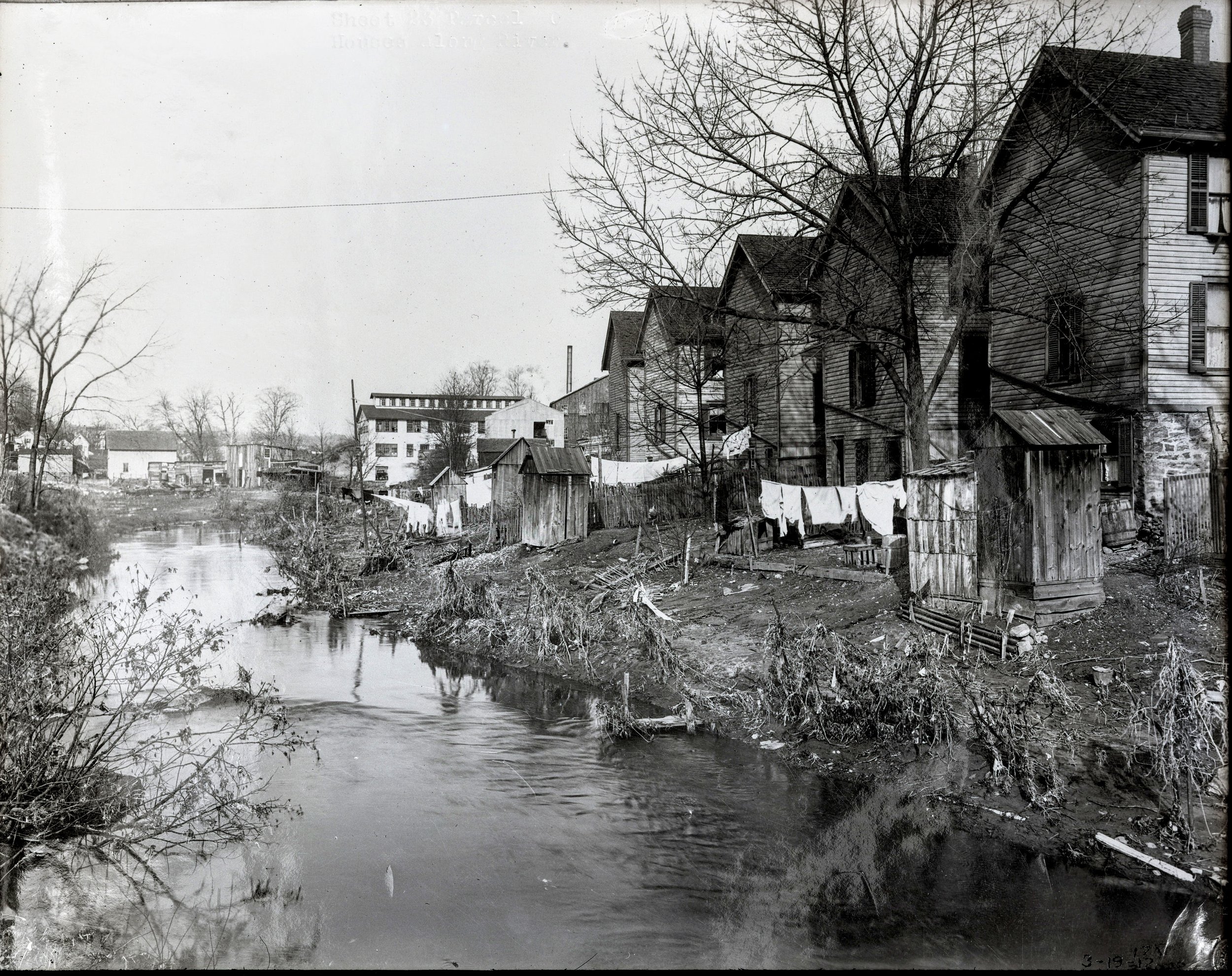
The Bronx River open sewer, in White Plains - 4/30/1913
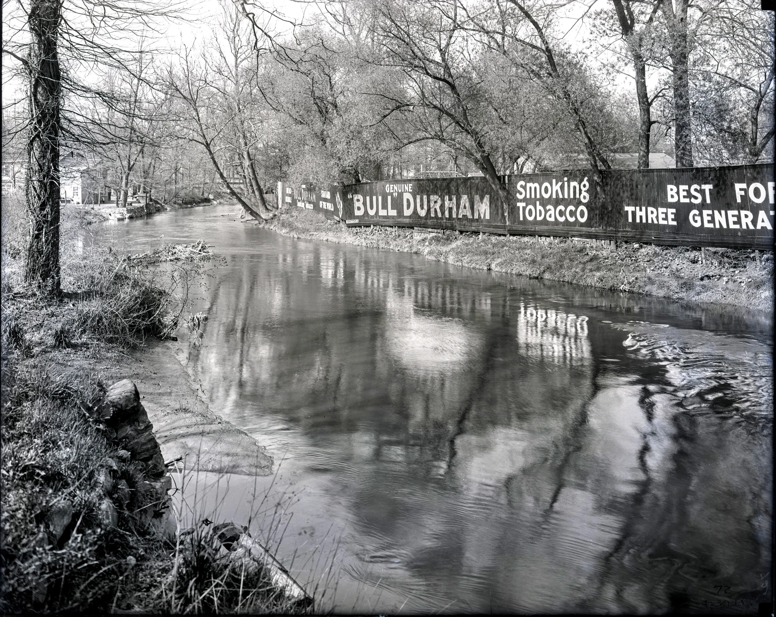
Billboards on the Bronx River - 4/30/1913

Bronx River at Hartsdale Park & RR Station - 5/1/1913
Bronx River & footbridge - Bronxville
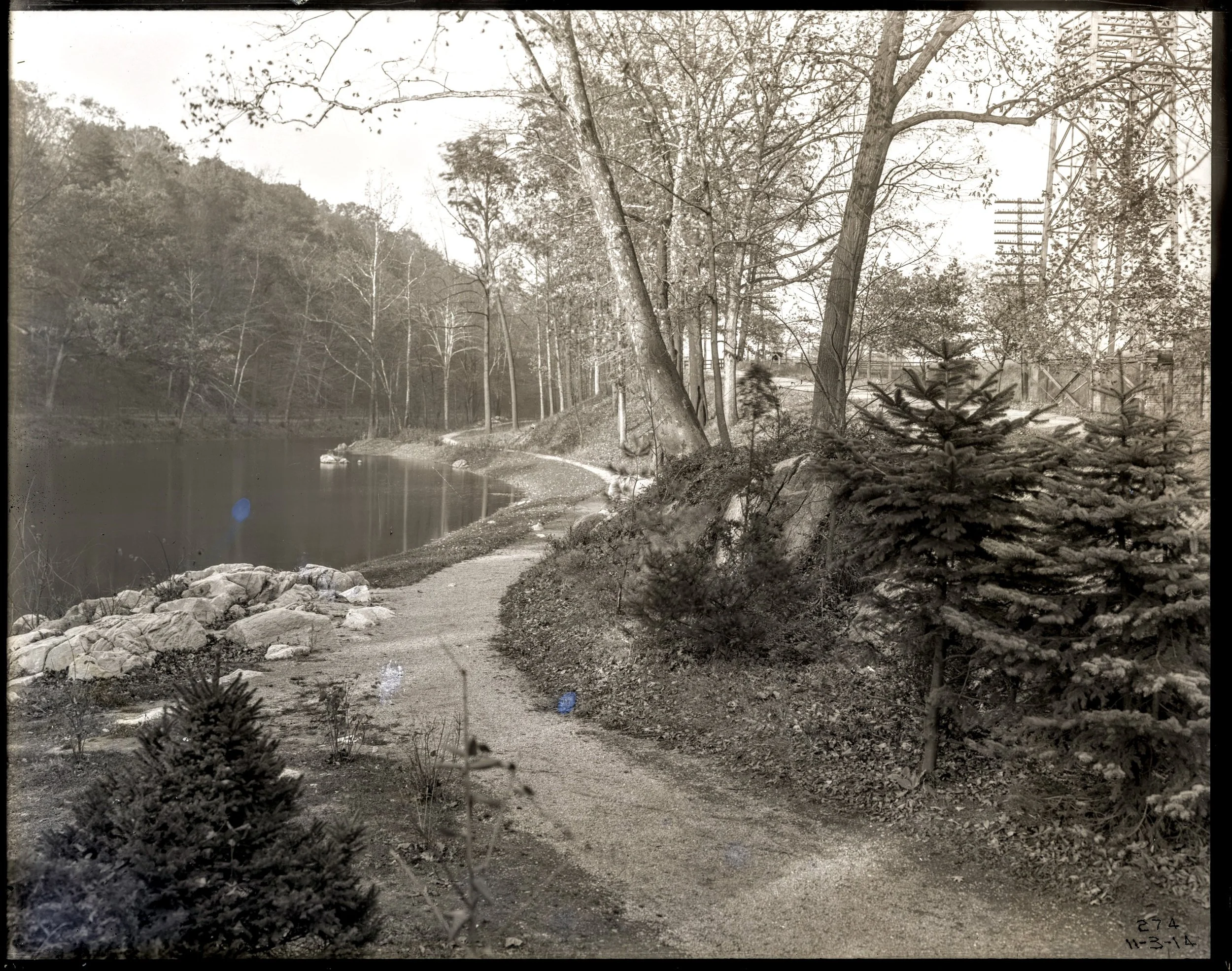
Bronx River Lake at Scarsdale RR Station - 11/3/1914

Winter recreation at Bronx River Lake at Scarsdale RR Station - 1/2/1914

BR flooding in Bronxville at Pondfield Rd. opposite BR Pkwy Office - 1/13/1915

Bronx River at Fisher Lane and RR at North White Plains - 5/4/1915

Pedestal Bridge in river at RR Station & Crane Road, Scarsdale - 1/13/1915

Bronx Parkway Commission Car - 1915
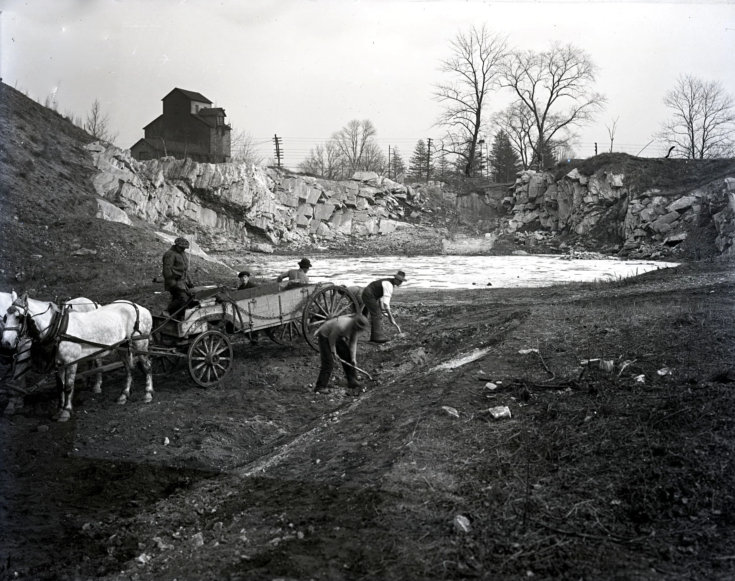
Men working at rock-cut, south end of Fisher Lane parking area - 1/21/1915

Davis Brook tributary, White Plains - 8/15/1916

Bridges at Main Street & Hamilton Avenue, White Plains - 12/27/1918

Bronx River at Valhalla RR Station - river now in a culvert

Bronxville Lake - south end former dam with adjustable flood gates - 3/28/1919

Parkway Bridge at Tuckahoe Road - 8/26/1924

Parkway Bridge at Main Street, White Plains - 9/2/1925

Parkway entering Garth Woods in Yonkers & Scarsdale, southbound - 10/5/1925
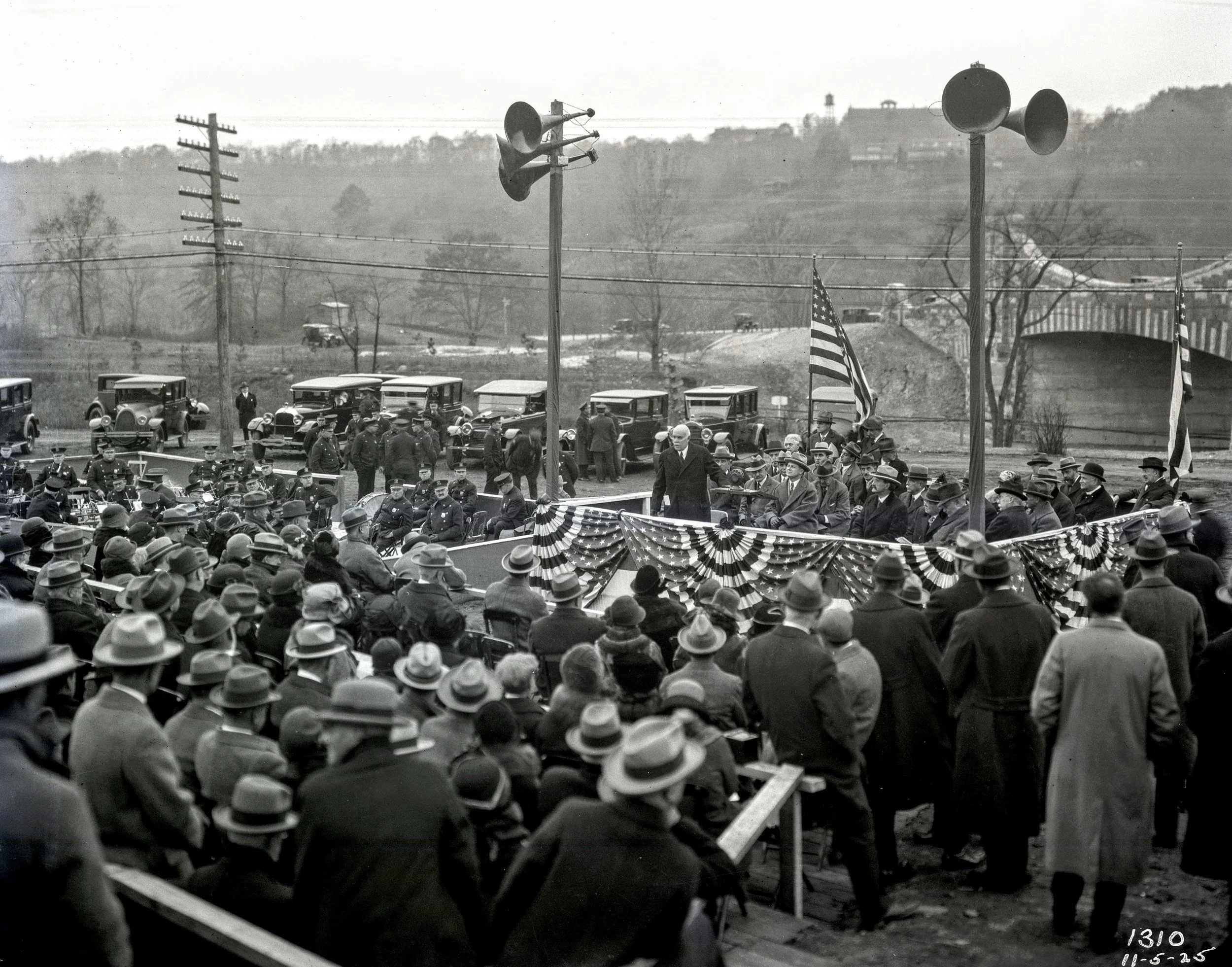
Parkway dedication at Valhalla in Lafayette Ave. bridge - 11/5/1925
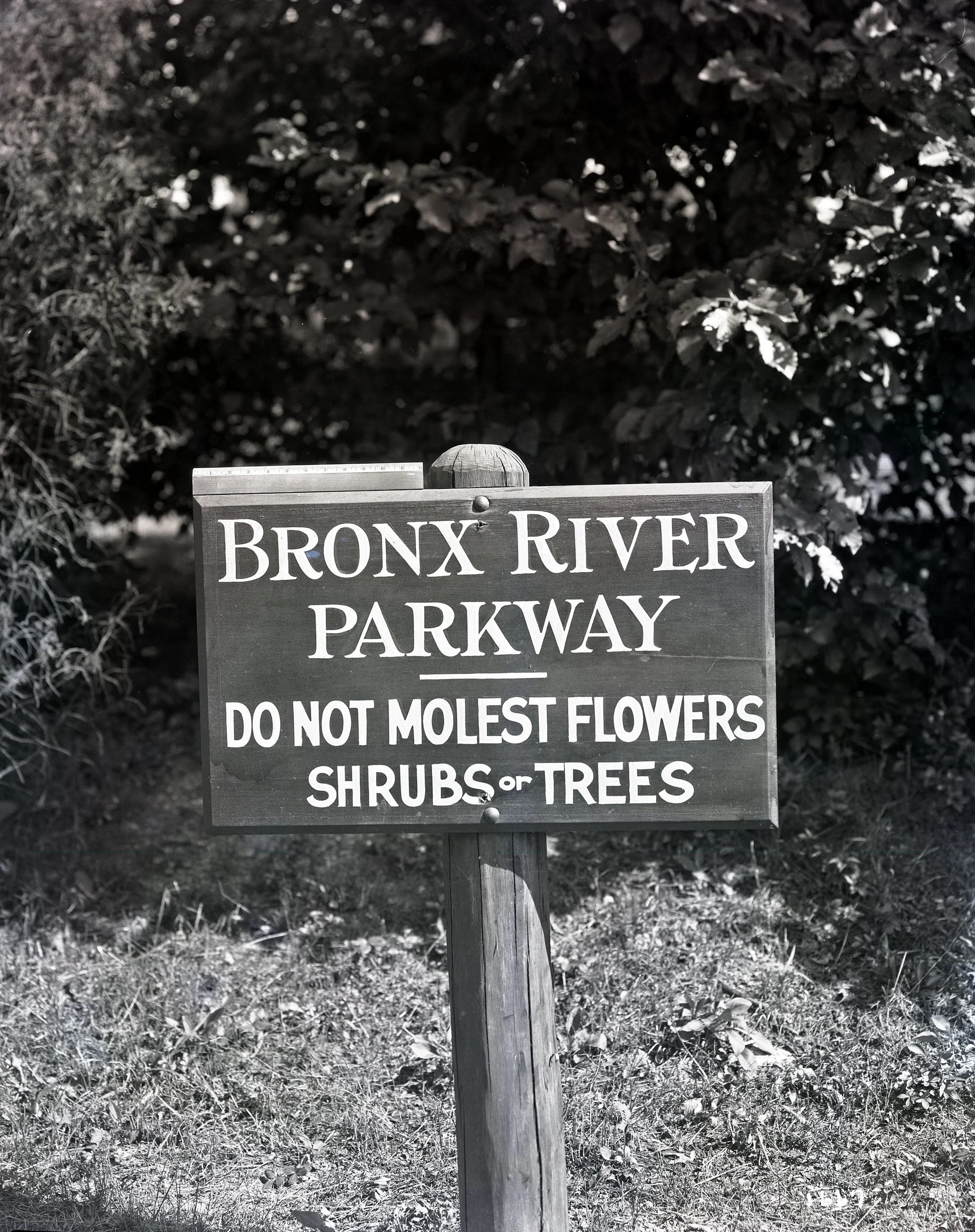

B.R. Parkway sign at entrance to Westchester County at 233rd Street
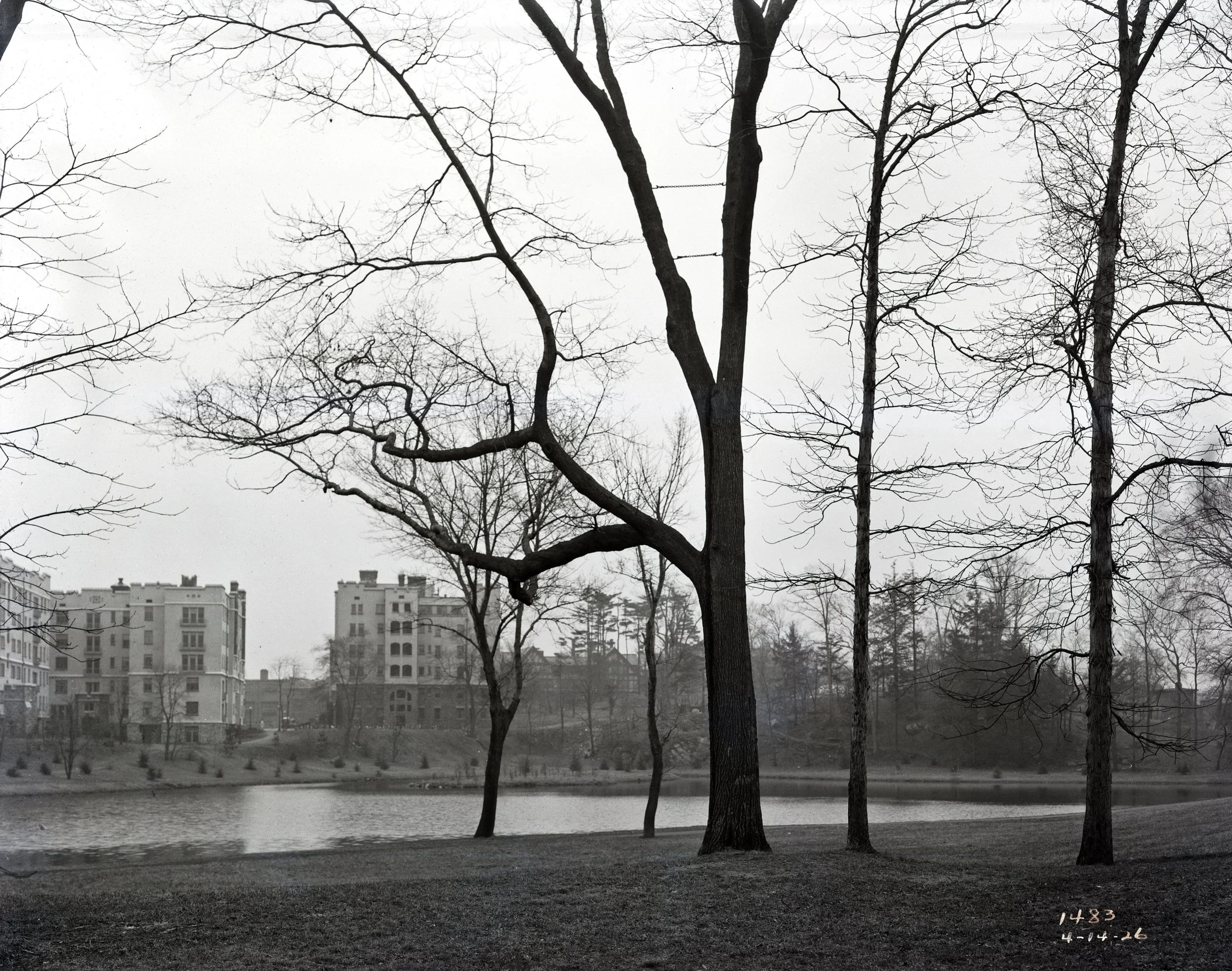
South end of Bronxville Lake - 4/14/1926
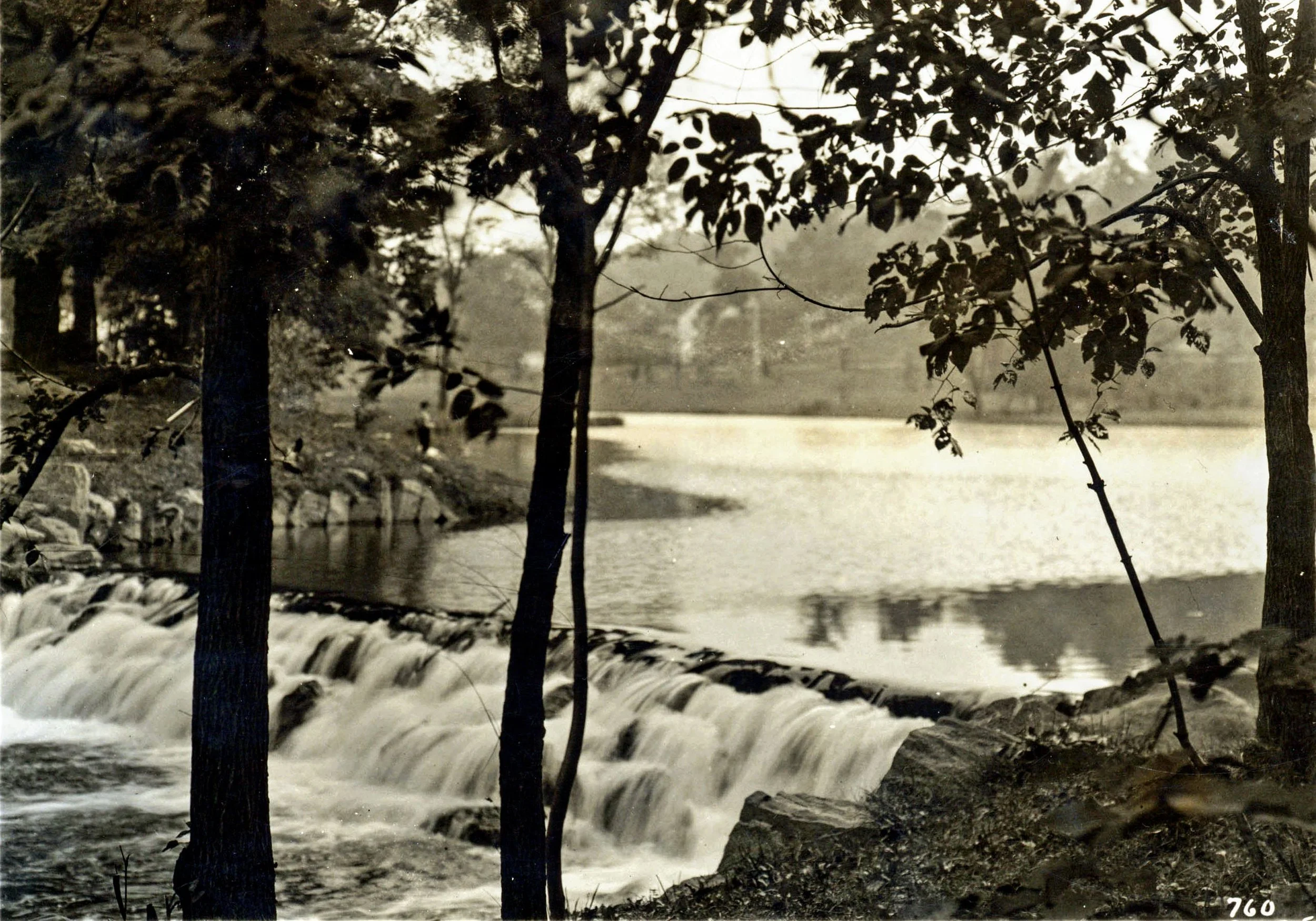
Bronxville Lake in Yonkers & Bronxville
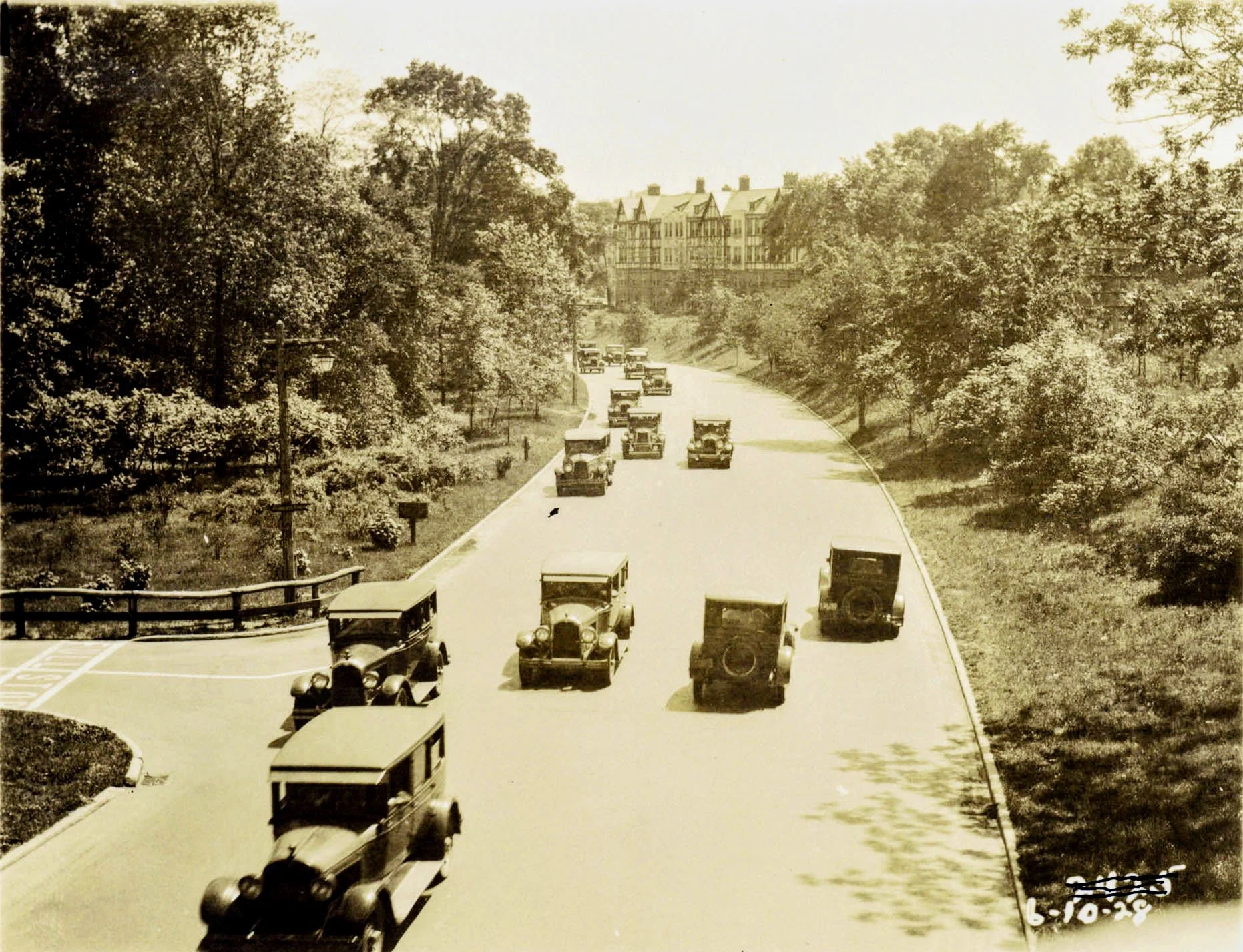
Parkway Bridge at Pondfield Road, southward, no lane markings - 6/10/1928
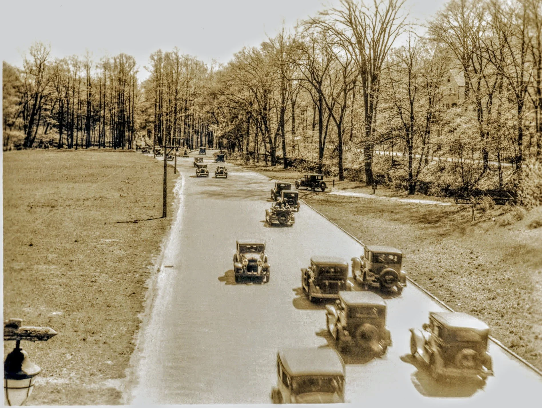
Parkway entering Garth Woods in Yonkers & Scarsdale, southbound
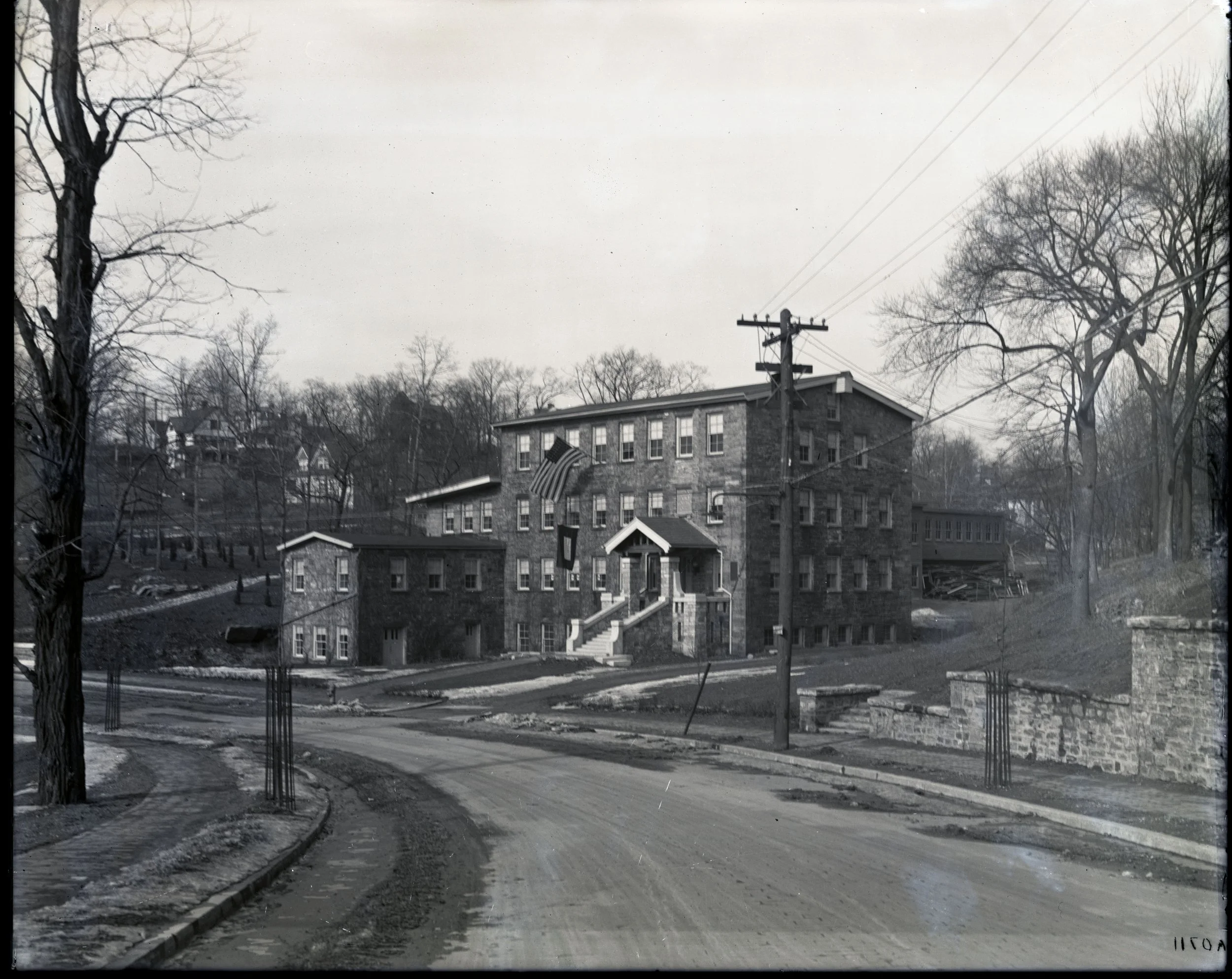
Bronx Parkway Commission Office, Later Westchester County Park Comm.

Parkway Bridge at Pondfield Road West, Bronx Park Comm. Office in rear

Parkway viaduct supports, Scarsdale

Woodland Place Viaduct - White Plains

Westchester County Center, Recreation Commission Building - Bronx River Reservation
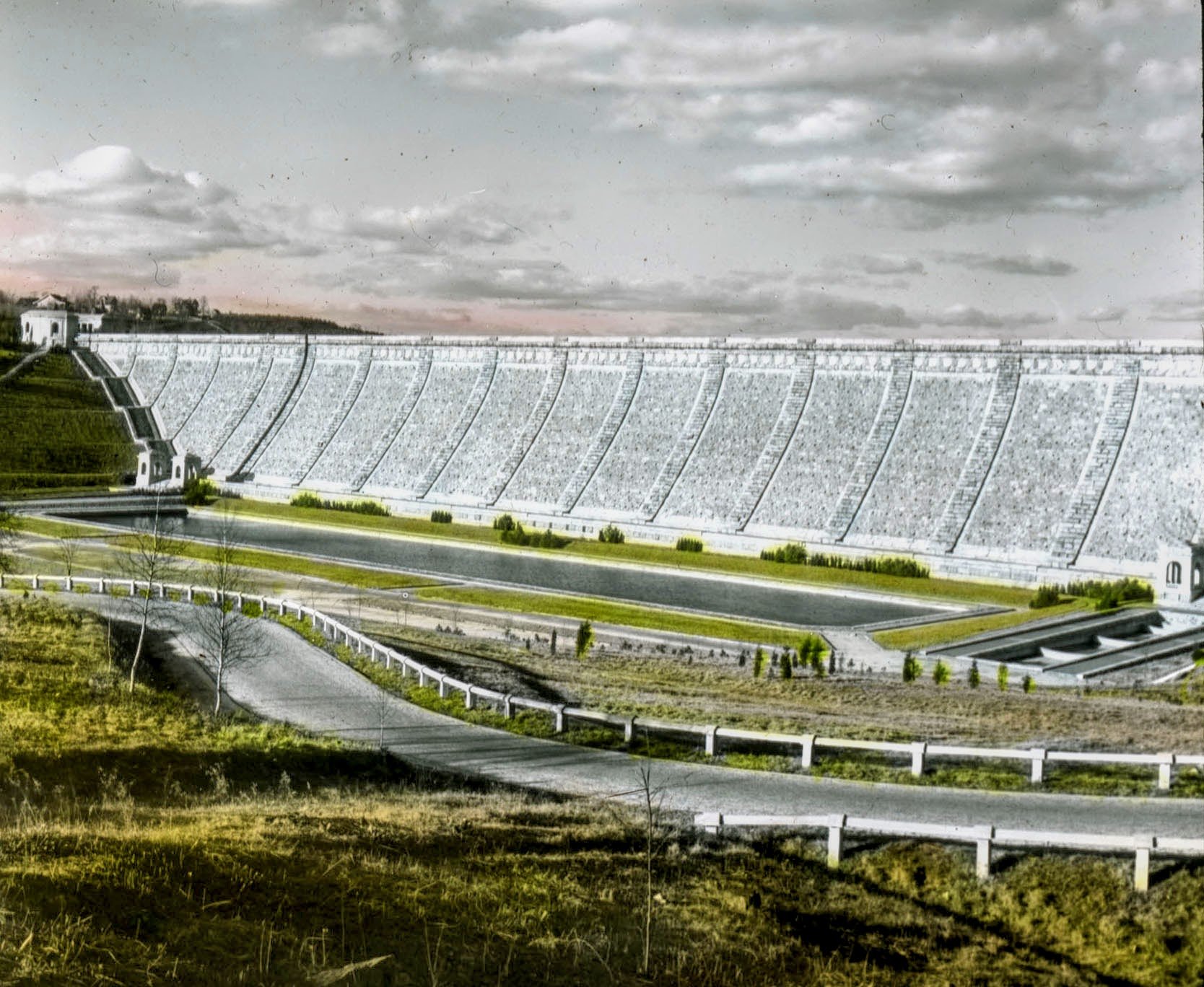
Kensico Dam in Mt. Pleasant & North Castle